Hiking trails on Pico
What walking is there on Pico besides climbing the mountain?
Quick answer
Montanha do Pico is the island's best known climb and its hardest, but it is not the only walk. A network of PR-marked trails covers the vineyard terraces, the north and south coasts, and the interior, and most of them are ordinary walking rather than an alpine ascent.
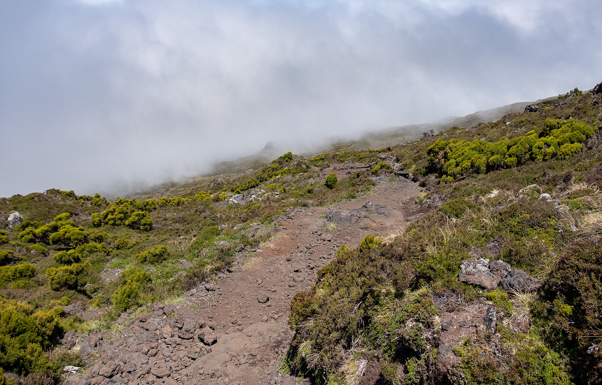
The summit
The hardest walk on the island, and the one that needs planning.
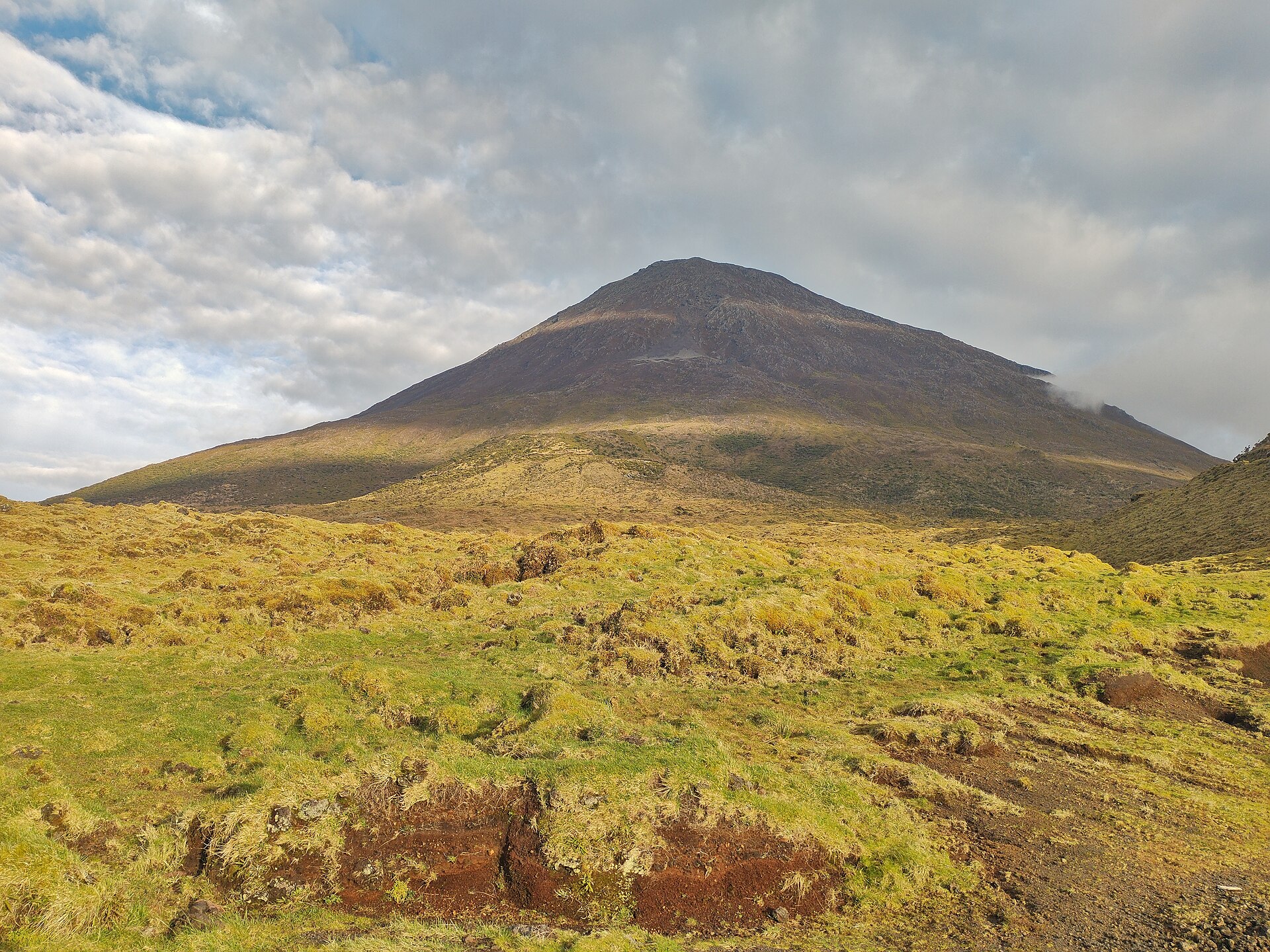
Two very different kinds of walking
Walking on Pico splits cleanly in two, and conflating them is how people get into trouble.
The mountain. Montanha do Pico is 2,351 metres, the highest point in Portugal, and the ascent from the trailhead is a sustained scramble on loose volcanic rock rather than a path. It is registered, capped and supervised, and it has its own page because none of its rules apply anywhere else on the island.
Everything else. The rest of the island is covered by PR-marked trails, the standard Portuguese small-route waymarking. These run through the vineyard terraces, along both coasts, and across the interior. They are ordinary walking: a reasonable pair of shoes, water, and an eye on the weather.
The most useful of them for a first visit is the marked trail through the Criação Velha vineyards west of Madalena, because it is the clearest way to understand what the walled plots of the UNESCO vineyard landscape are actually doing. It reads completely differently on foot than from a car.
Weather is the real variable
Pico makes its own weather. The mountain generates cloud, the north and south coasts can be doing different things on the same afternoon, and a clear morning is not a promise about noon. That is not a reason to avoid walking here, but it is a reason to carry a shell on a walk that looks like it does not need one, and to treat any fixed plan for summit day as provisional.
What this page does not tell you
There is no list of PR routes here with distances, ascent and waymarking status. The regional trails authority publishes that, and its site was unreachable from the machine this page was written on, so nothing has been copied from secondary guides: a route profile taken from a blog is exactly the kind of figure this site does not publish. See things to do for what else is on the island, and practical information for fuel and pharmacies.