Climbing Montanha do Pico
What does climbing Montanha do Pico involve, and what has to be arranged first?
Quick answer
Montanha do Pico is 2,351 metres and the highest point in Portugal. The ascent starts from Casa da Montanha above Madalena, is registered and supervised there, and is a sustained scramble on loose volcanic rock rather than a graded path. Confirm the current rules before you travel.
Portugal's highest point kills unprepared people most years. Volcanic scree, sudden fog, and a summit crater rim with real exposure. Do not attempt this without a registered guide unless you are an experienced, well-equipped mountain hiker who has checked the weather window yourself.
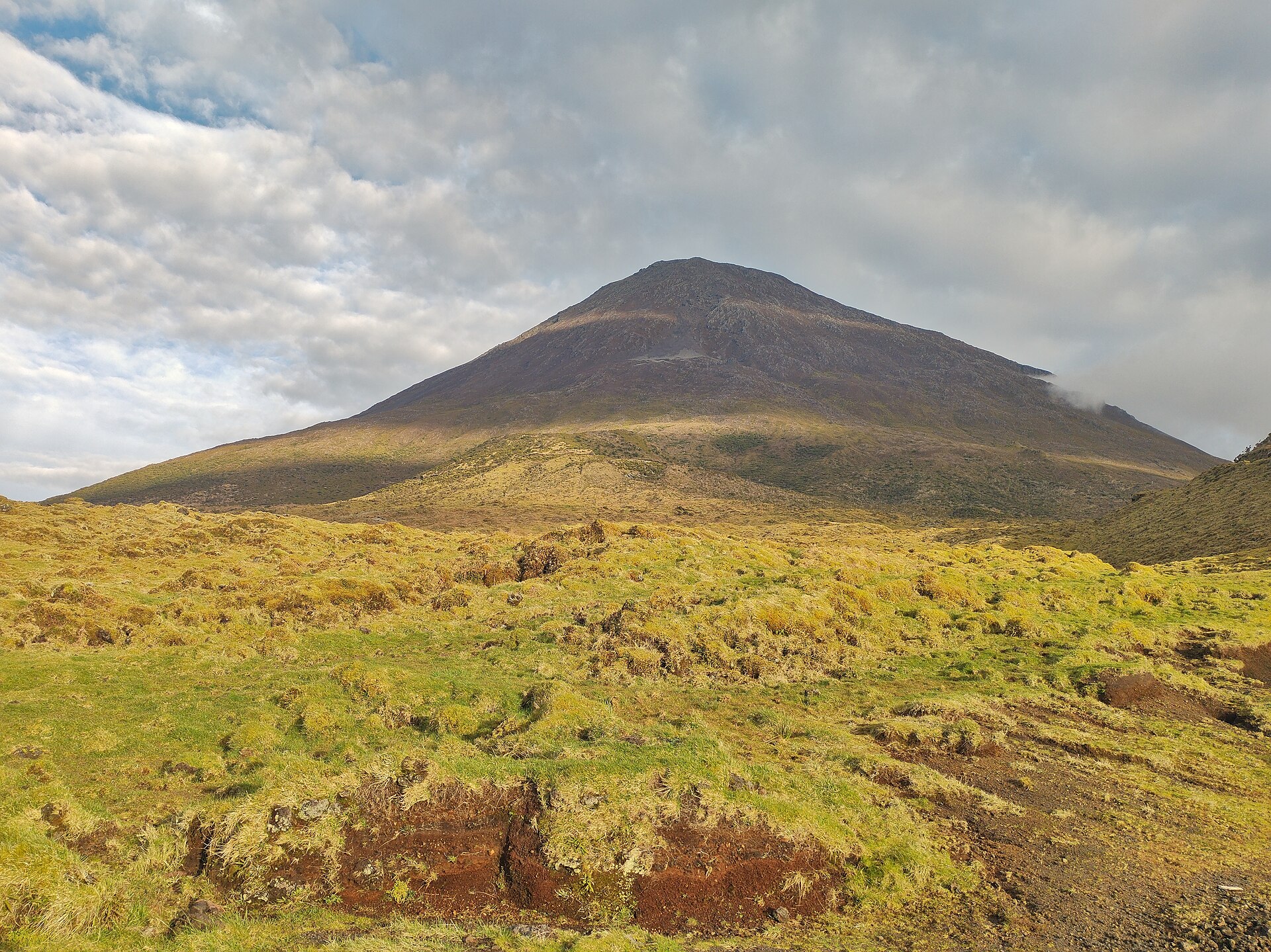
What it actually is
Montanha do Pico is a stratovolcano rising 2,351 metres straight out of the Atlantic, and it is the highest point in Portugal: higher than anything on the mainland or on Madeira. The protected area around it covers 13.41 square kilometres.
The important thing to understand before booking is what the ascent is like underfoot. This is not a graded mountain path with switchbacks. It is a direct line up the cone over loose volcanic rock and blocky lava, marked by numbered posts, and it uses your hands in places. The descent is harder on most people than the climb, because the same loose rock that slowed you down going up is now underneath you going down.
There is a second, steeper cone at the top, the Piquinho, which is the true summit. Reaching the crater rim is not the same as reaching the summit, and the last part is a further scramble.
What Casa da Montanha controls
The ascent starts at Casa da Montanha, the mountain house on the road above Madalena, and it is supervised from there. Climbers register before setting out. Access is managed rather than open: the number of people on the mountain, the hours within which you can start, and the equipment you are expected to carry are all set by the mountain house, not by the weather or your own judgement.
Those specific rules are exactly what this page will not state, and the reason is in the next section.
What this page does not tell you, and why
No daily cap, no fees, no opening hours, no tracker rule, no cut-off time. All of those exist and all of them matter. The authoritative source for them is the regional mountain house's own site, and that site was unreachable from the machine this page was written on: every request returned a block rather than a page.
So the numbers are absent rather than copied from a guidebook or another website. A cap or a cut-off time taken second-hand and published under a "last verified" stamp would be worse than no figure at all, because you would plan a day around it.
Confirm the current rules with Casa da Montanha directly before you travel, and treat any figure you find elsewhere, including on this site's competitors, as unverified until they confirm it.
Before you go
Weather is the constraint. The mountain makes its own cloud and the summit can be in it while the coast is clear. See hiking on Pico for the easier trails that are worth having as a fallback, Madalena for the nearest town, and things to do for what else fills a day the mountain takes away from you.
Facts and sources
Common questions
How high is Montanha do Pico?
Montanha do Pico is 2,351 metres above sea level. That height is reached on the Piquinho, the small cone that rises inside the summit crater and forms the true summit. Reaching the crater rim is not the same as reaching the top: the last part is a further scramble up that cone.
Where does the climb up Montanha do Pico start?
At Casa da Montanha, the mountain house on the road above Madalena. Climbers register there before setting out, and the ascent is supervised from there. The rules on how many people may climb, when you may start and what you must carry are set there too, so confirm them with the mountain house directly before you travel.
Is Montanha do Pico the highest mountain in Portugal?
Yes. At 2,351 metres it is the highest point in Portugal, higher than anything on the mainland or on Madeira. It is also far higher than any other peak in the Azores, which is why it dominates the view from the neighbouring islands whenever the cloud lifts.
Can you see Montanha do Pico from Faial?
Yes, on a clear day. The mountain fills the view across the channel from Horta, and the Horta marina and the Espalamaca viewpoint are two of the most photographed places to see it from. The summit often sits in its own cloud while the coast is clear, so the view comes and goes during the day.
Is Montanha do Pico an active volcano?
It is a stratovolcano, classed as dormant rather than extinct. Its last recorded eruption was in 1720, and the island's historic eruptions broke out from vents on the mountain's flanks rather than from the summit crater. It is monitored by the Azores' Institute for Research in Volcanology and Risk Assessment.