Pico's villages and towns
Which town on Pico should I base myself in?
Quick answer
Pico is one island split into three municipalities: Madalena on the west coast, where the Faial ferry berths, São Roque on the north coast, and Lajes on the south coast. Each has its own town, and the choice between them decides how much of the island you drive each day.
The three municipal towns
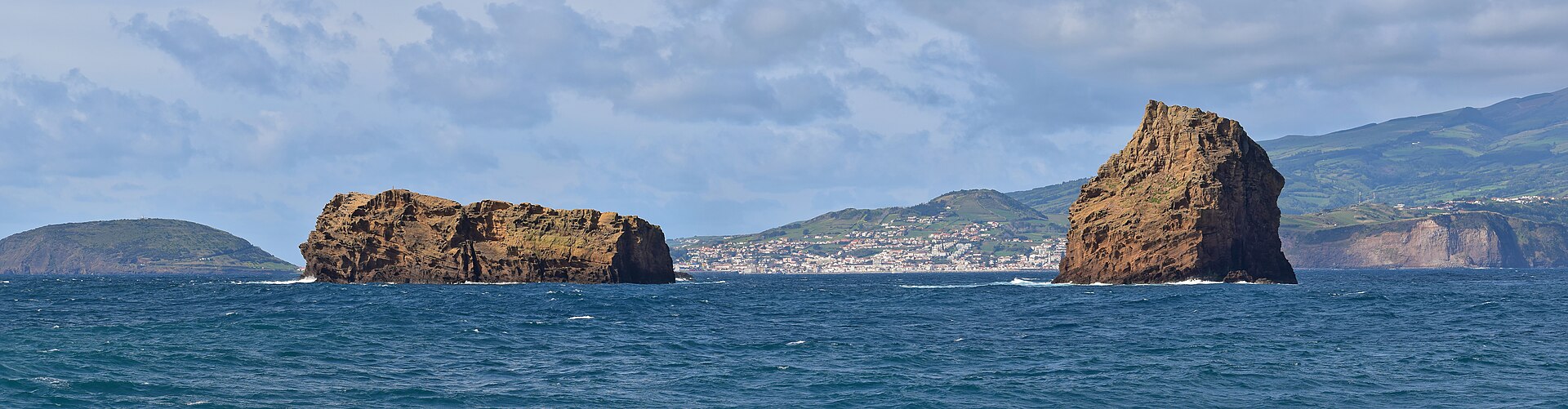 The Cosmonaut · CC BY-SA 4.0
Madalena, Pico
Madalena is the largest of Pico's three municipalities and the town where the ferry from Horta berths, which makes it the island's arrival point.
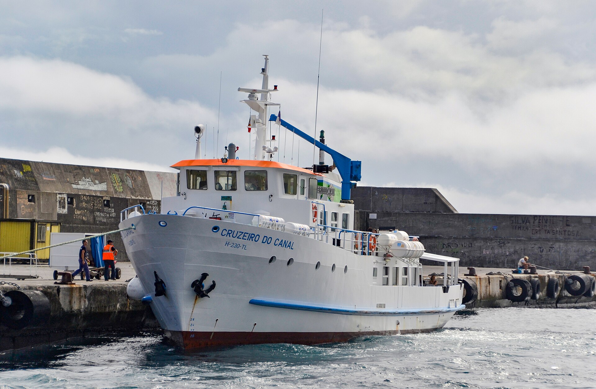 Photographer: Mosbatho · CC BY 4.0
São Roque do Pico
São Roque do Pico is the smallest of the island's three municipalities by population and the town on the north coast.
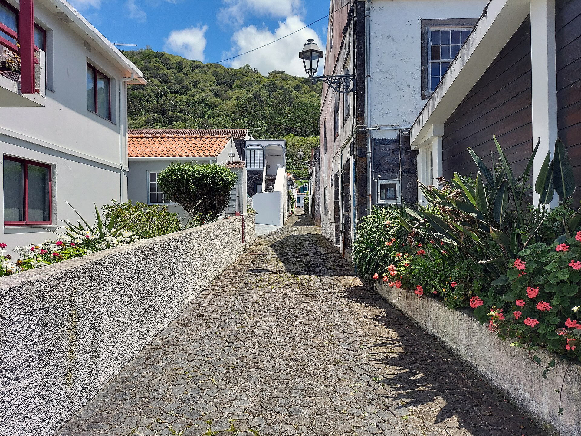 P. Hughes · CC BY-SA 4.0
Lajes do Pico
Lajes do Pico is the town on the island's south coast and the municipality that covers the largest area of the three.
Smaller places
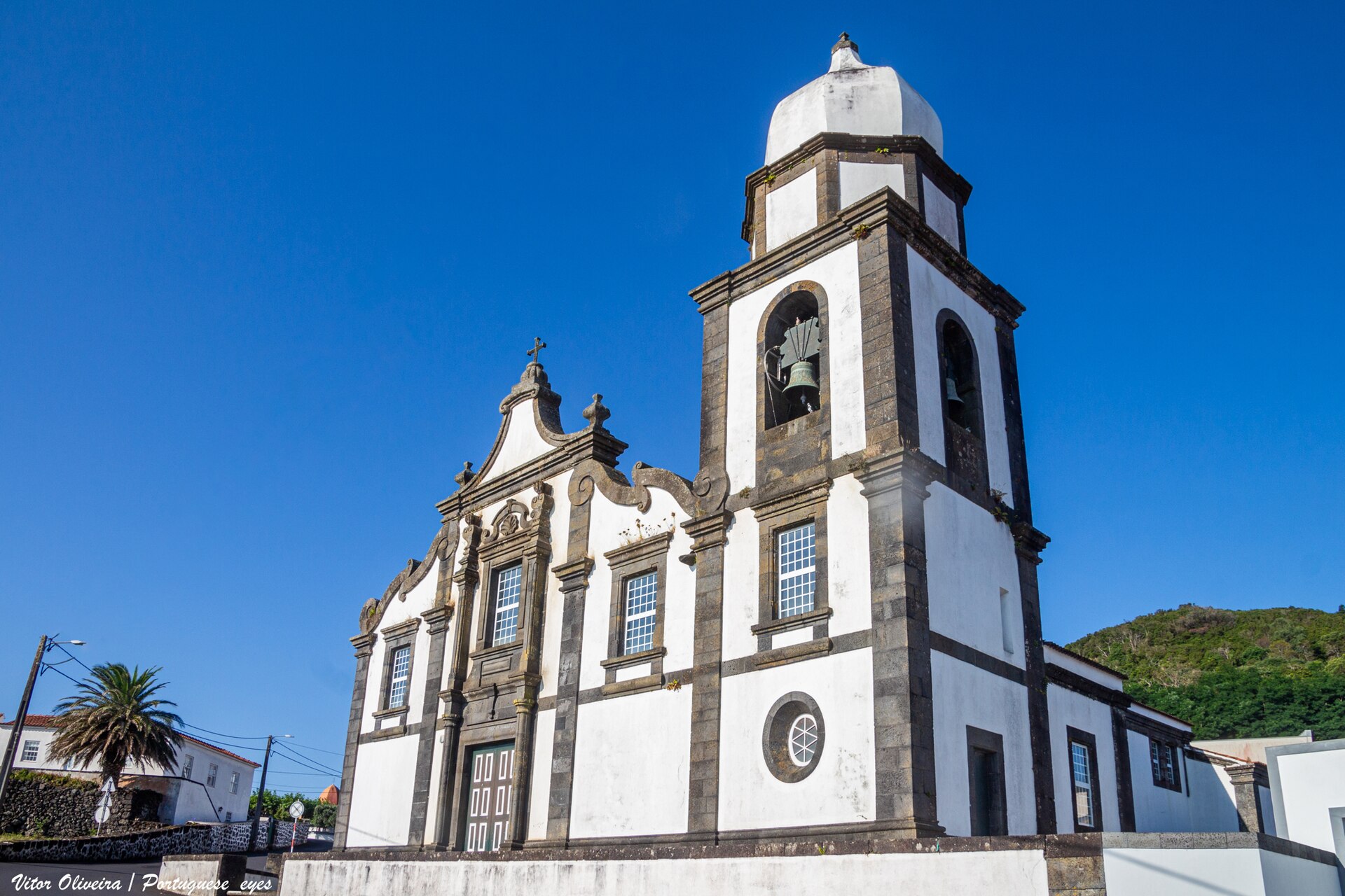
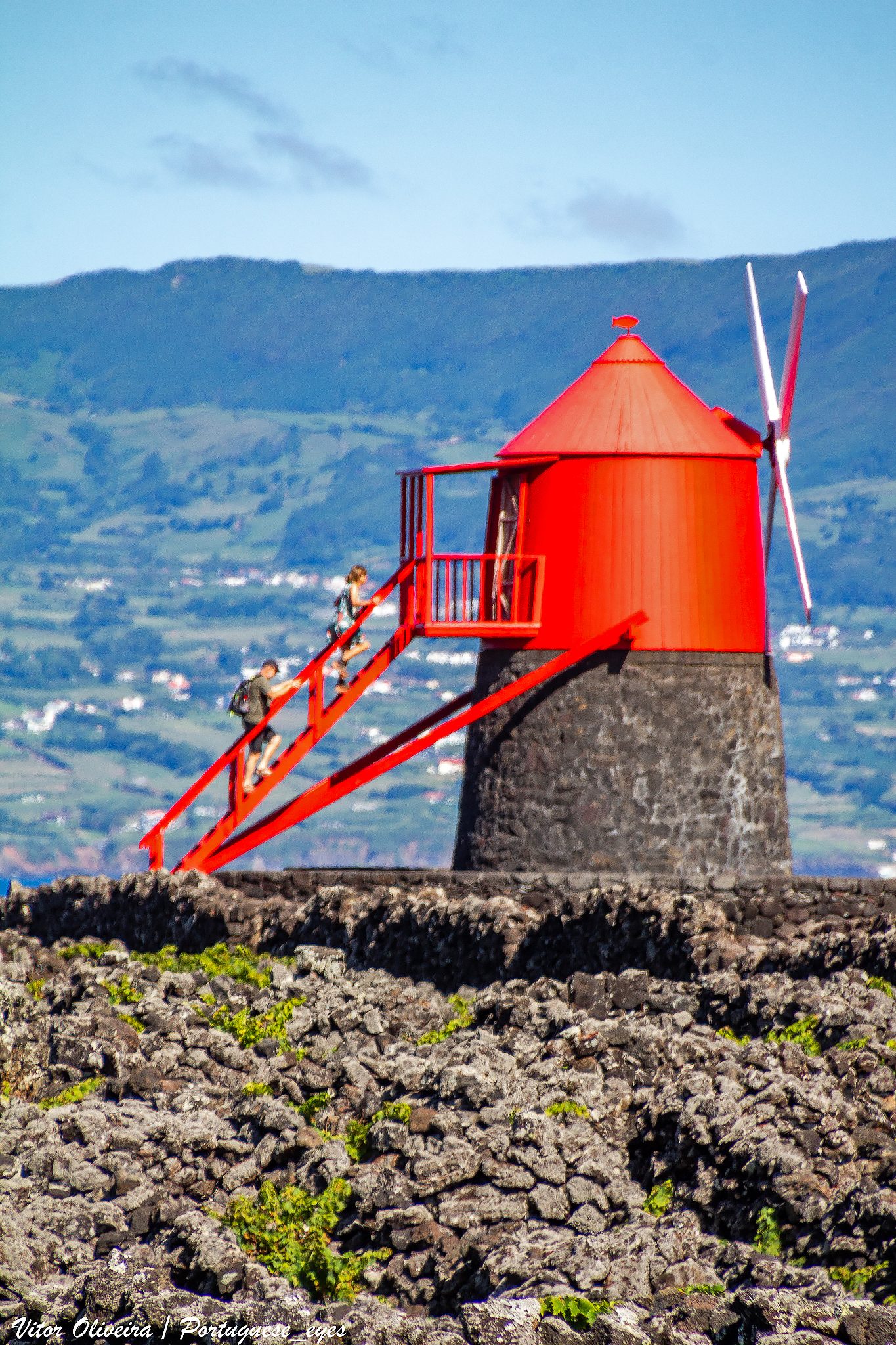 Vitor Oliveira from Torres Vedras, PORTUGAL · CC BY-SA 2.0
Criação Velha, Pico
Criação Velha is a parish of Madalena municipality on Pico's west coast, just south of Madalena town.
Santa Luzia, Pico
Santa Luzia is a north-coast parish in São Roque municipality, and the Lajido de Santa Luzia is one of the two areas usually named as the heart of...
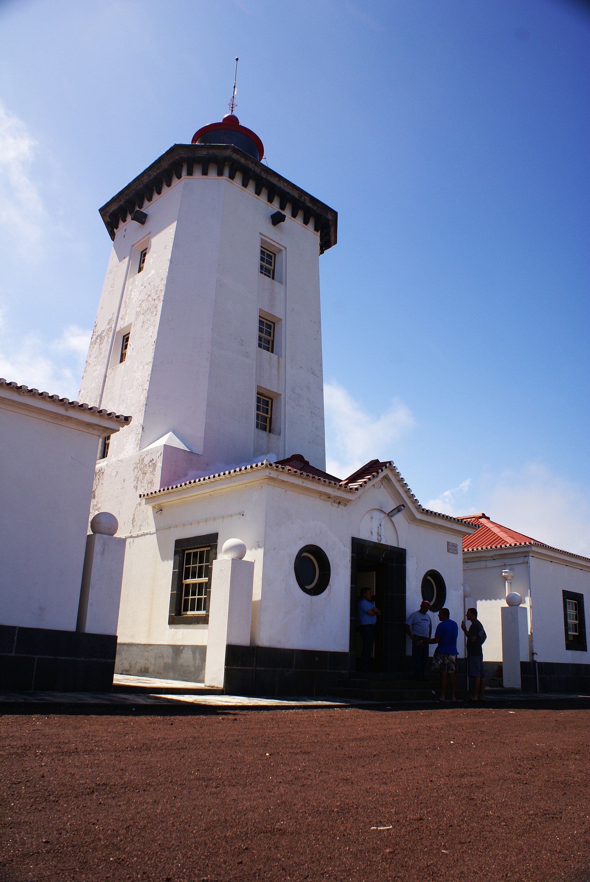 José Luís Ávila Silveira/Pedro Noronha e Costa · Public domain
Piedade, Pico
Piedade is the parish at the far eastern end of Pico, in Lajes do Pico municipality.
Three municipalities, one island
Pico is administratively three municipalities, and the division is more useful to a visitor than it sounds. Each one owns a stretch of coast, has its own town, and puts you within easy reach of a different part of the island. Between them they cover roughly 445 square kilometres and about 14,000 people at the 2011 census, which is the last figure carried here with a date on it.
Madalena sits on the west coast, facing Faial across the channel. It is the largest of the three by population and it is where the ferry berths, which makes it the default arrival point and the practical base for anyone coming and going from Horta. The UNESCO vineyard landscape begins on its doorstep.
São Roque do Pico is on the north coast, the smallest of the three by population. It is the middle option geographically, and the closest town to the north-coast lajido vineyards.
Lajes do Pico is on the south coast. It is the old whaling town, it holds the whalers' museum, and it is where the south-coast whale watching boats sail from.
Below the municipal towns sit the parishes. Two are worth knowing by name before you arrive. Criação Velha, just south of Madalena, is where the vineyard walls and the Moinho do Frade windmill are easiest to walk among. Piedade, at the far eastern end of the island, has the Ponta da Ilha lighthouse and very few visitors.
Choosing between them
There is no bus network worth planning around, so the honest way to choose is by driving time. The island is long and the roads along each coast are slow, so a base on one coast means a real drive to the other. If you are here for the mountain, Madalena is nearest the trailhead road. If you are here for whales and the whaling history, Lajes puts you at the door. If you are crossing from Horta for a single day, Madalena is the only choice that makes sense.
See where to stay for accommodation and getting here for the ferry and flights.
What this page does not tell you
The population figures are from the 2011 census, which is the most recent one carried in the source used here. More recent parish-level counts exist and have not been checked, so they are absent rather than estimated. Nothing here ranks the towns: they are different, not better and worse.