Gruta das Torres
What is the Gruta das Torres, and what does visiting it involve?
Quick answer
The Gruta das Torres is a lava tube on Pico, the longest known in Portugal, formed by the same volcanism that built the island. It has been a protected area since 2004, covering 0.637 square kilometres, and it is visited on a guided walk rather than freely.
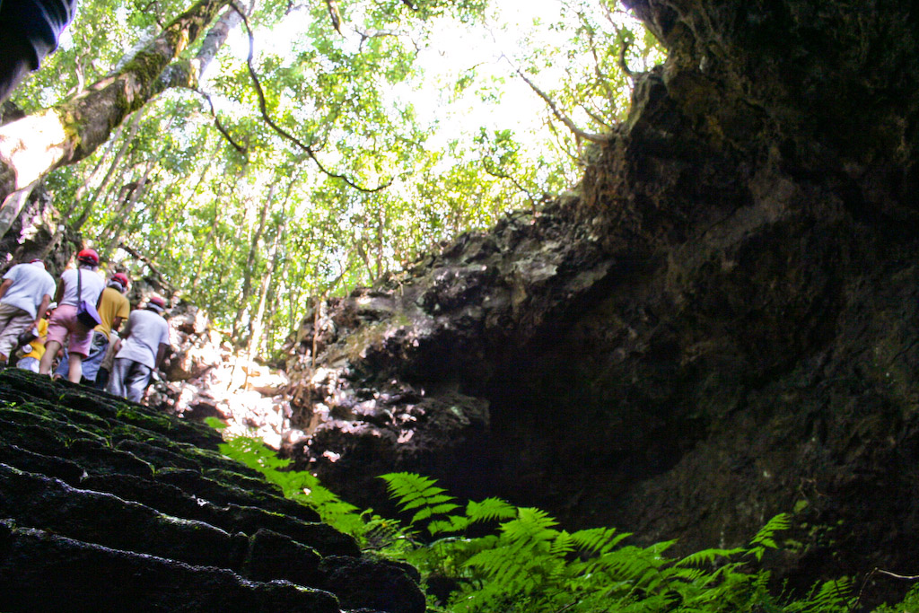
What a lava tube is
When a lava flow crusts over on the outside while the inside is still moving, the moving part eventually drains away and leaves the crust behind as a tunnel. That is a lava tube, and the Gruta das Torres is the longest one known in Portugal.
Inside, the features are the record of that draining: the marks where the level dropped, the lavacicles on the roof, the ropey surface of the last flow along the floor. It is a different kind of cave from a limestone one, with no stalactites of the school-textbook sort, and the interest is geological rather than decorative.
The site has been protected since 2004 and the protected area covers 0.637 square kilometres, centred on 38.4971° N, 28.5069° W.
Visiting
Access is by guided visit, not free entry, and equipment is handled at the visitor centre. That makes it one of the two things on the island that reliably work in bad weather, the other being the Museu dos Baleeiros on the south coast. It is a sensible reserve plan for a day when the mountain is in cloud.
The tube is on the western side of the island, within reach of Madalena and the wine country around Criação Velha, so it combines naturally with a vineyard walk.
What this page does not tell you
No opening hours, no admission price, no tour times, no tube length in metres, no group sizes, no minimum age. The bodies that set those are the regional natural parks and geopark authorities, and their sites were unreachable from the machine this page was written on. Every one of those figures is easy to find on other guides and none of them has been checked here, so none is published.
Book ahead in season and confirm the current arrangements directly. See things to do for the rest of the island, Lagoa do Capitão for the nearest outdoor alternative, and the natural pools if the weather turns out better than forecast.