Driving on Pico
What are the roads like on Pico, and how long does it take to cross the island?
Quick answer
Pico is 447 square kilometres of thinly populated volcanic coastline with 13,834 people on it. There is a road around the island and one across the middle, the surfaces are fine, and the real constraints are cloud, fuel and the fact that nothing is as close as the map suggests.
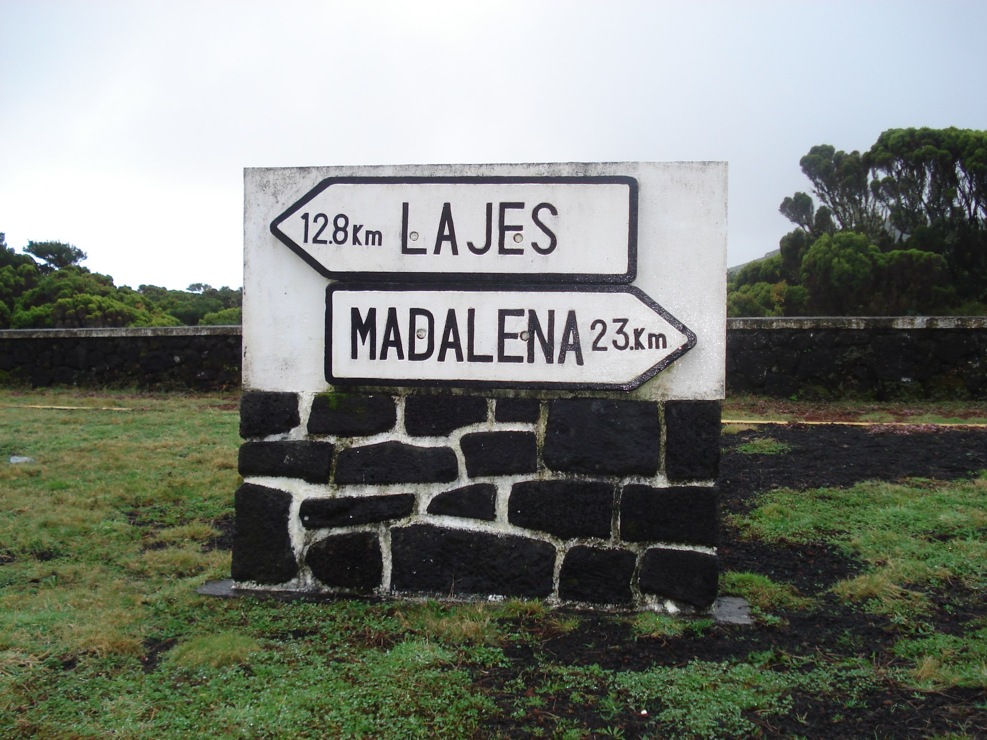
The shape of the problem
Pico is a long island: 447 square kilometres, under 14,000 residents, and a 2,351 metre mountain sitting in the middle of it. Roads follow the two coasts, with a road across the middle between them. The surfaces are not the issue.
The issue is that the mountain is in the way. Going from the north coast to the south coast means either crossing the middle, which climbs into cloud, or going round, which is long. Two points that look close on a map can be a genuinely slow drive apart, and that is the single most common planning mistake visitors make here.
Treat any estimate of "it is only twenty minutes" with suspicion unless the person saying it has driven that exact pair of places.
The three things that actually catch people out
Cloud on the middle road. The island generates its own weather and the crossing road climbs into it. Visibility can drop hard and quickly. It is not dangerous at a sensible speed, but it is slower than you planned for, and it happens on days that looked clear from the coast.
Fuel. Stations are few and their hours are not a city's hours. Do not run the tank down on the assumption that something will be open on the way. See fuel stations.
Livestock and single-track sections. Away from the main coast roads, expect to meet cattle, farm traffic and sections where somebody has to reverse. This is normal here and not a reason to avoid the smaller roads, which is where the island actually is.
Plan around it
Base yourself with the driving in mind rather than treating the island as one destination. See Pico's villages for how the three towns compare, renting a car for why you need one, and getting to Pico for arriving in the first place. The airport and the two ferry ports sit on different coasts, so where you land sets your first drive: see flights to Pico and ferries to Pico.
What this page does not tell you
No distances, no drive times, no road numbers, no speed limits, no fuel prices. Drive times in particular are exactly the figure a guide invents and a reader then trusts. Nothing here has been measured, so nothing is stated. Use a routing app on the day, and add margin for cloud.